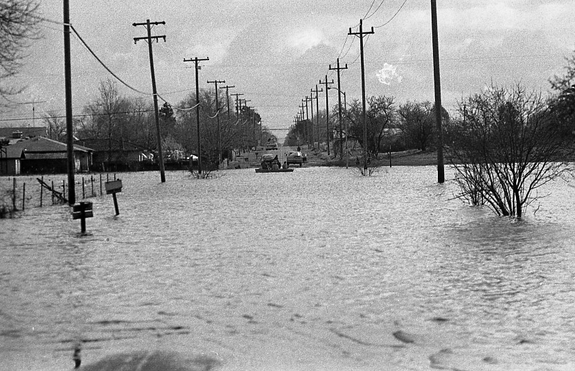
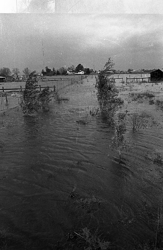
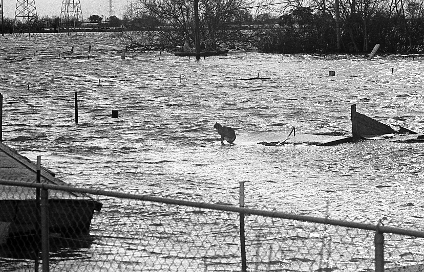
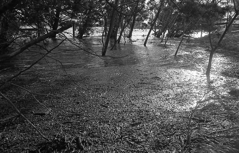
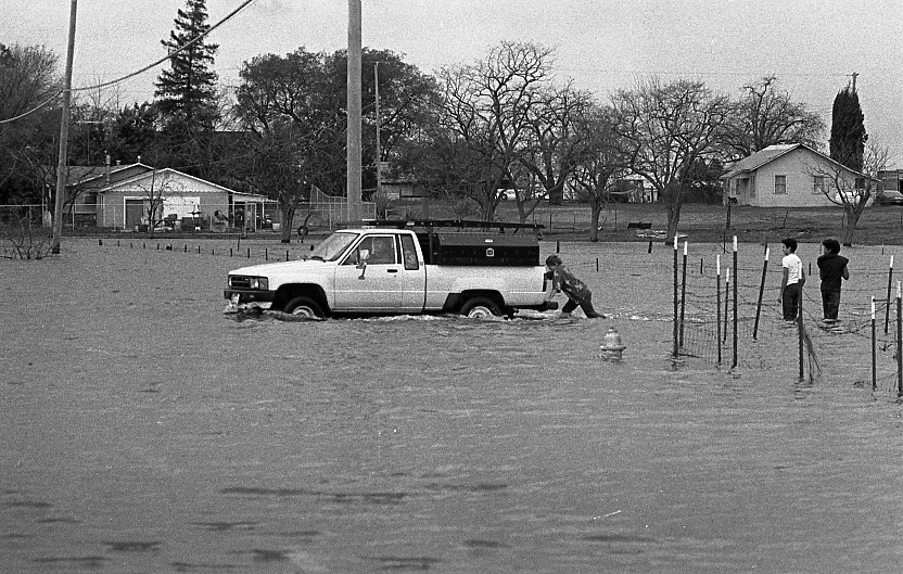
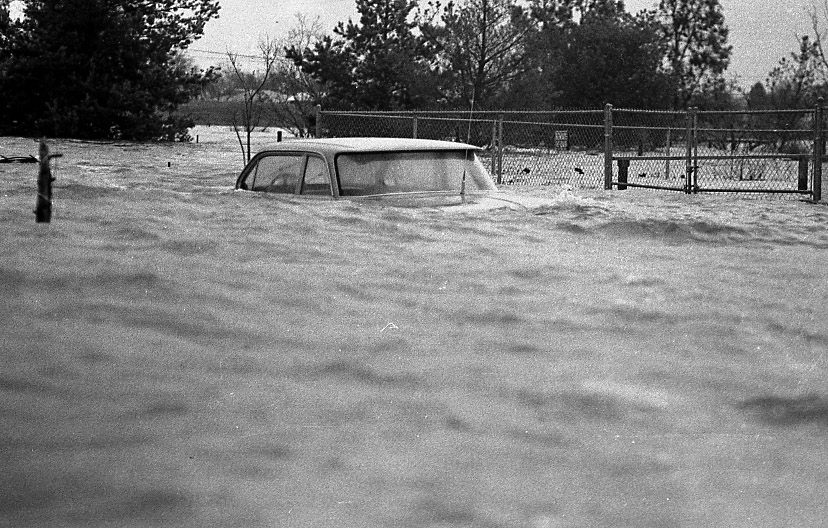
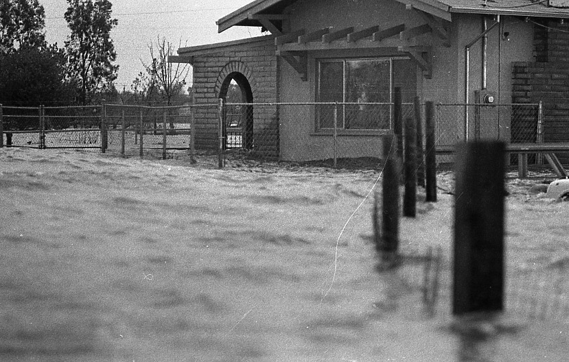
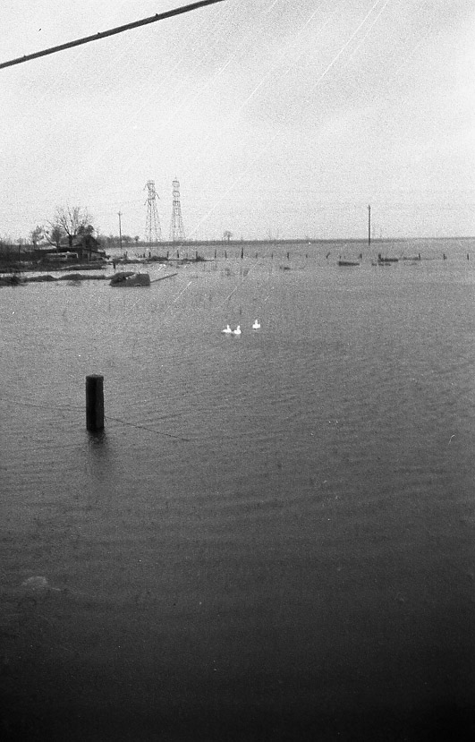
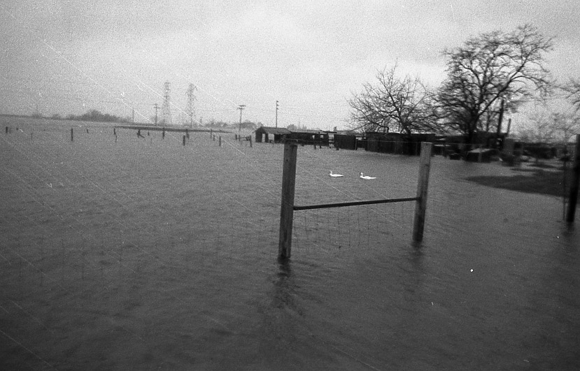
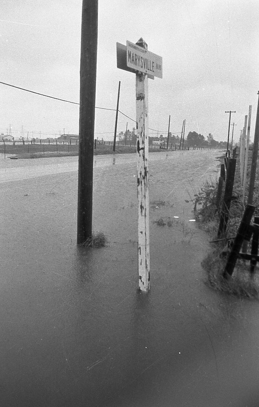
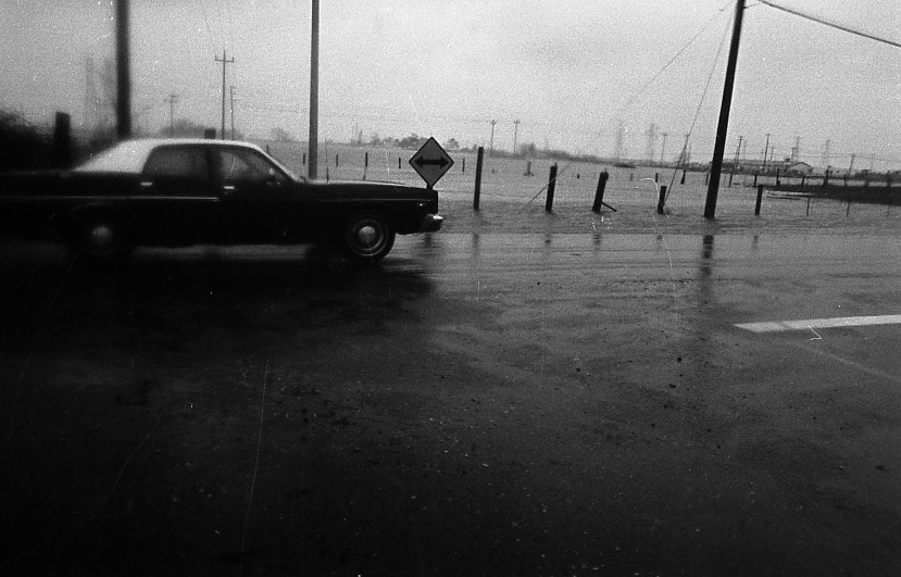
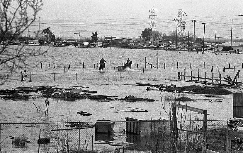
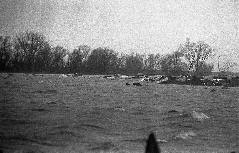
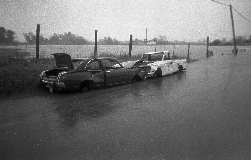
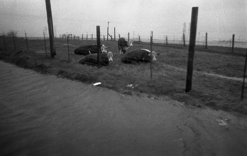
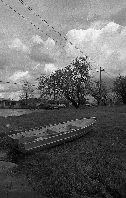
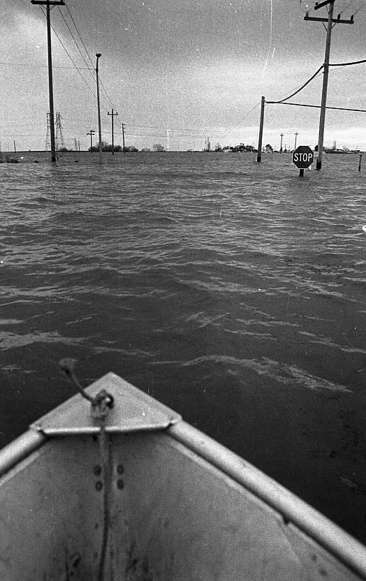
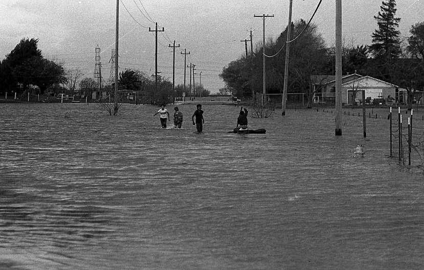
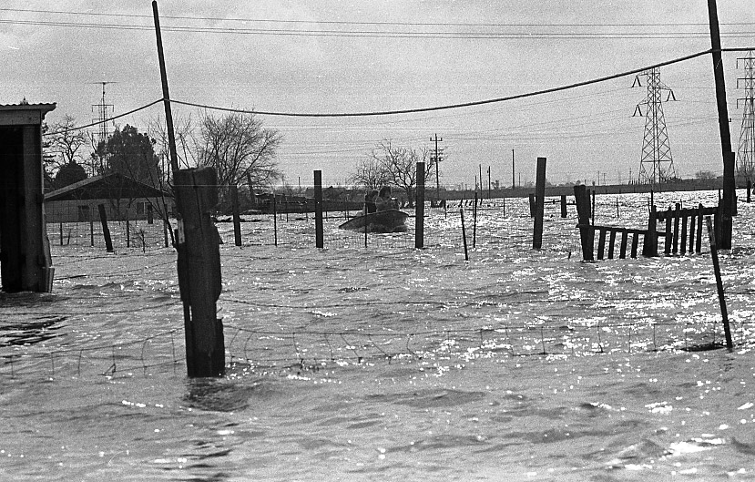
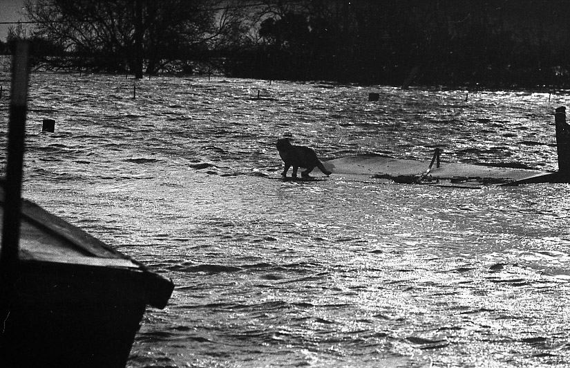
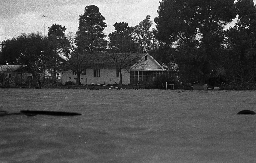
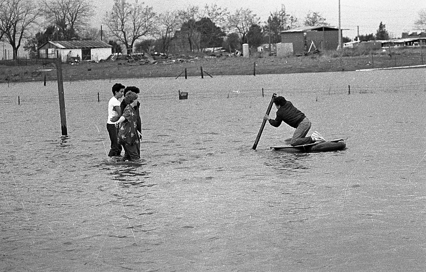
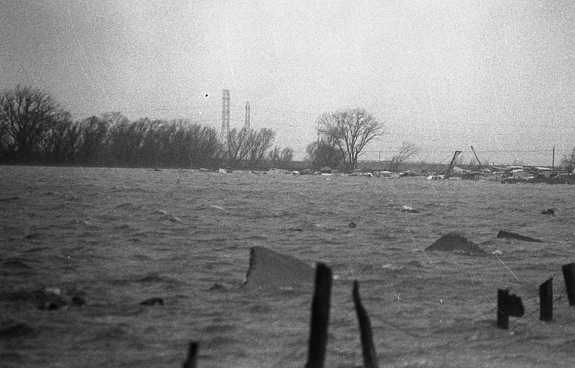
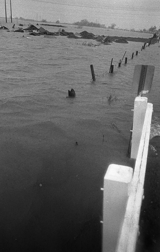
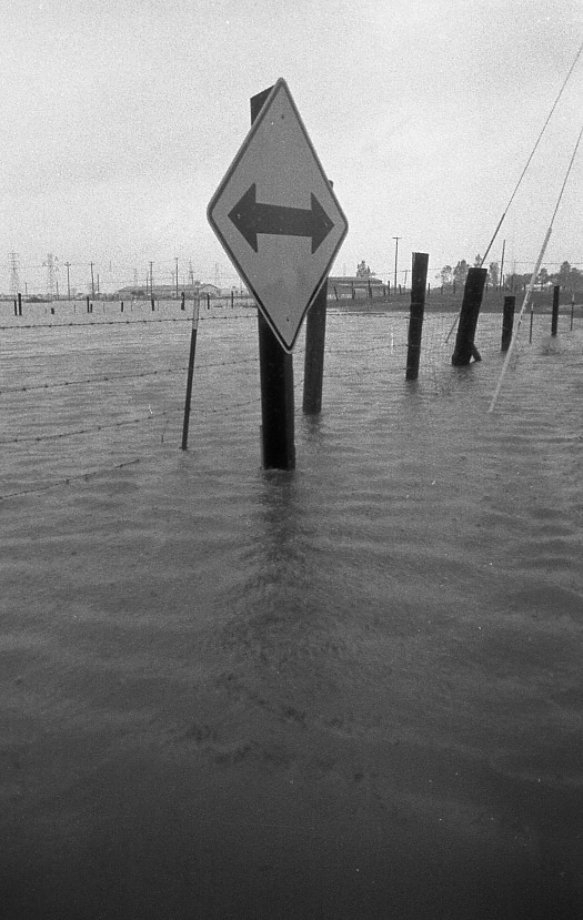
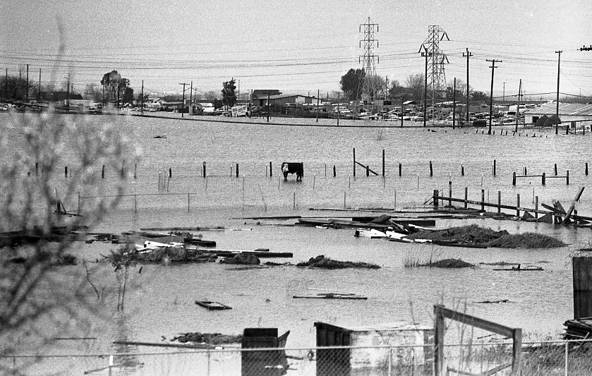
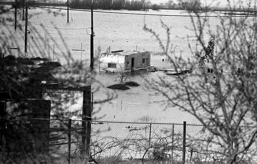
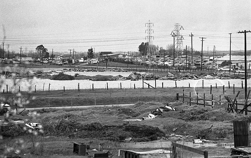
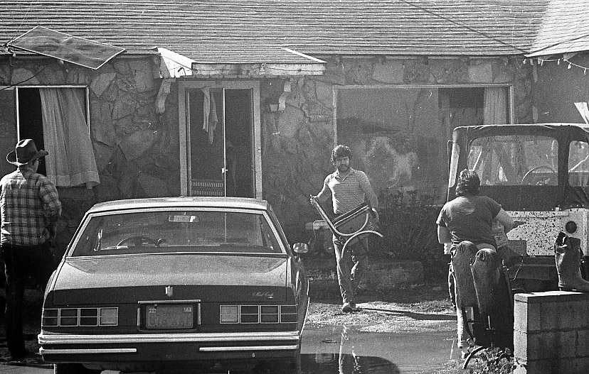
In February 1986, one of the greatest and most widespread floods on record devastated California and Nevada with phenomenal amounts of precipitation. On February 11, 1986, a vigorous low-pressure system drifted east out of the Pacific. The slow-moving storm meandered south where it tapped into warm moist air from the tropics. Suddenly it was laden with abundant moisture and heading straight for California.
The Golden State was subject to this Pineapple Express for 10 days. Unprecedented amounts of rain pounded the state. The heaviest 24-hour rainfall ever recorded in the Central Valley, 17.60 inches, occurred on Feb. 17, 1986, at Four Trees in the Feather River Basin. At Calistoga, 29 inches of rain in 10 days created a once-in-a-thousand-year rainfall event.
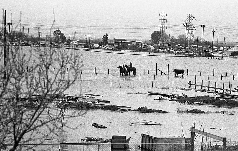
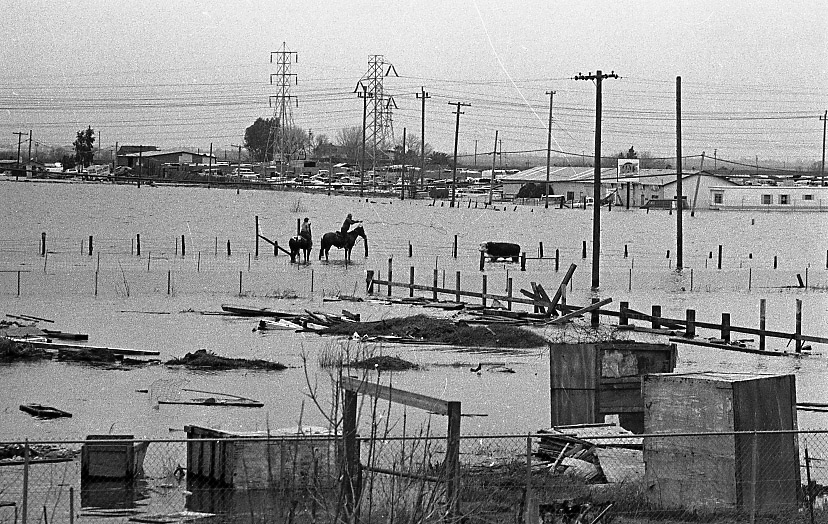
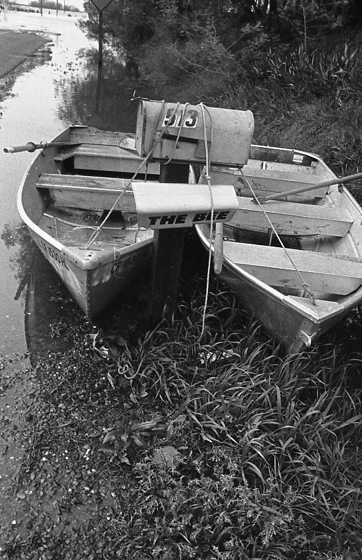
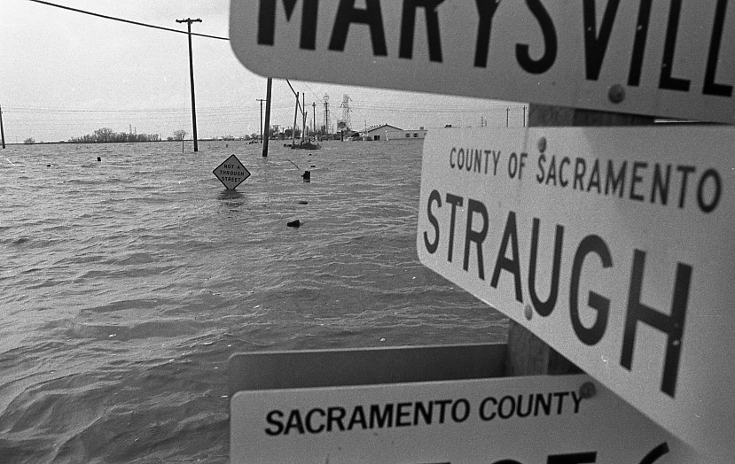
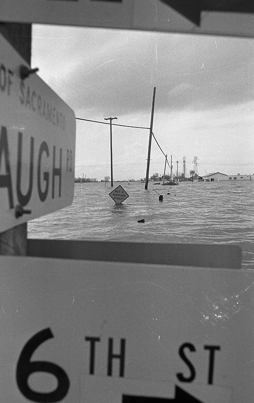
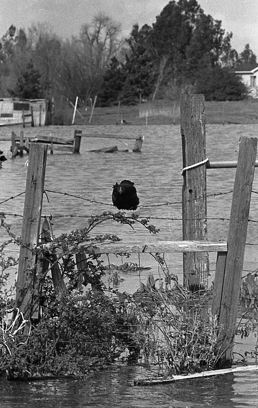
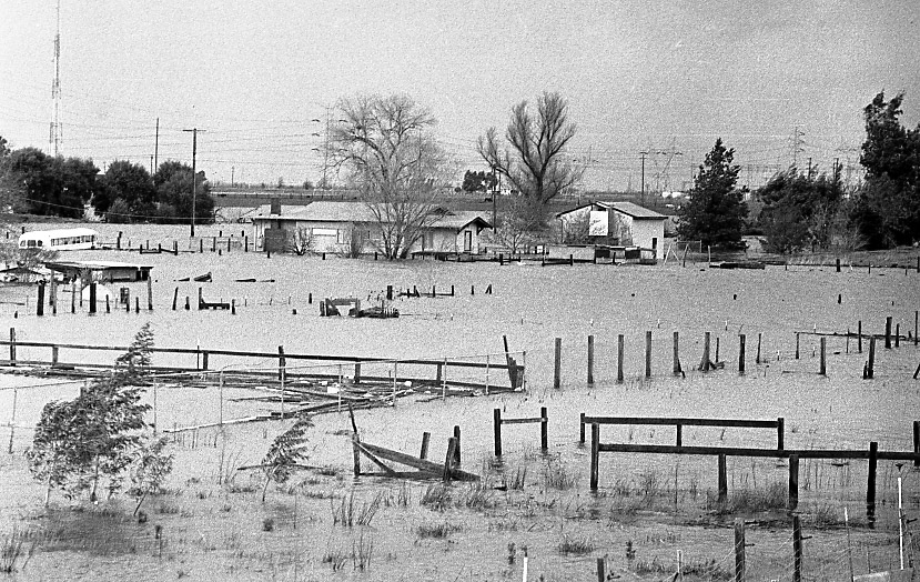
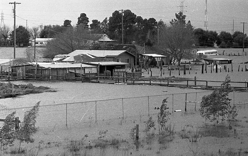
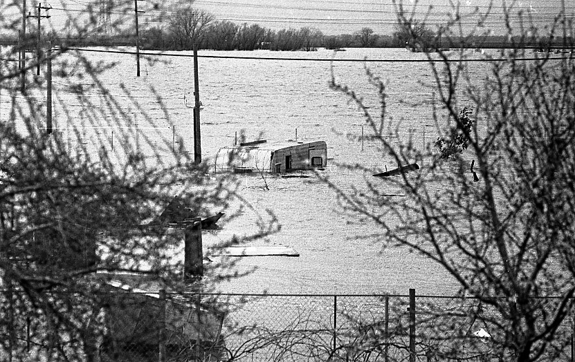
The overwhelming floodwaters tore bridges from their foundations and punched through levees. Thirteen thousand homes and businesses were either damaged or destroyed. Thirteen people died and 96 were injured. As levees burst and dams failed, more than 50,000 people fled their homes in fear. The damage was estimated at $500 million.
The lowlands of California certainly suffered, but this “Pineapple Express” also saved a potent punch for the Sierra and western Nevada. Rainfall totals were incredible. In just nine days nearly 10 inches of rain drenched Carson City, setting a new monthly precipitation record. Not bad for a city that receives less than 12 inches in an average year.
Due to the storm’s tropical nature, snow levels fluctuated between 7,000 and 8,000 feet. Between Feb. 11 and Feb. 20, 1986, more than 17 inches of rain fell at the Truckee Ranger Station. Water-logged observers at Blue Canyon on the Sierra west slope tallied nearly 34 inches of rain in the same ten days. Above 8,000 feet storm total estimates ranged from 15 to 20 feet of new snow with 20-30 inches of water content.
The American and Sacramento rivers were stressed to the limit.
In Sacramento, there were only a few feet between the water and the bottom of the Tower Bridge. Water poured through the gates of the Sacramento weir, just north of West Sacramento, helping to fill the Yolo Bypass.
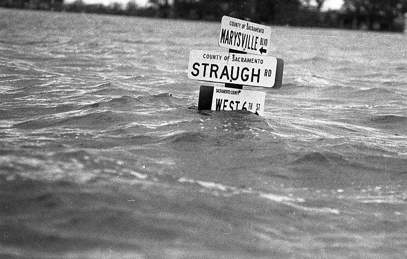
Smaller waterways were overwhelmed. Arcade and Dry Creeks flooded parts of Sacramento County, and hundreds were forced to evacuate on short notice to the gym at Grant High School.
The Mokelumne River broke through a levee and flooded the towns of Thornton and Walnut Grove. For a while, Interstate 5 and Highway 99 were flooded and closed south of Sacramento.
At the same time, parts of Highway 50 and Interstate 80 were also closed due to rock and mudslides.
It would take days before the floodwaters would recede.
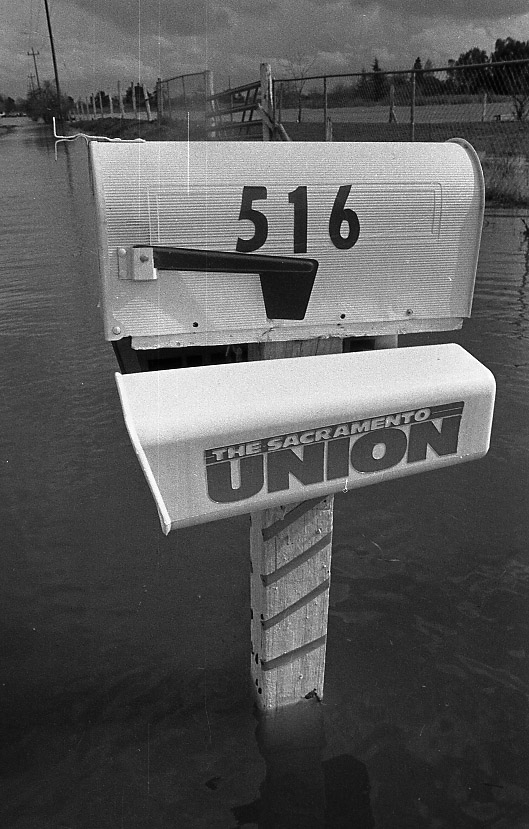
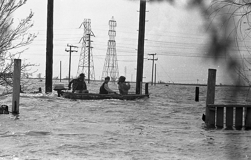
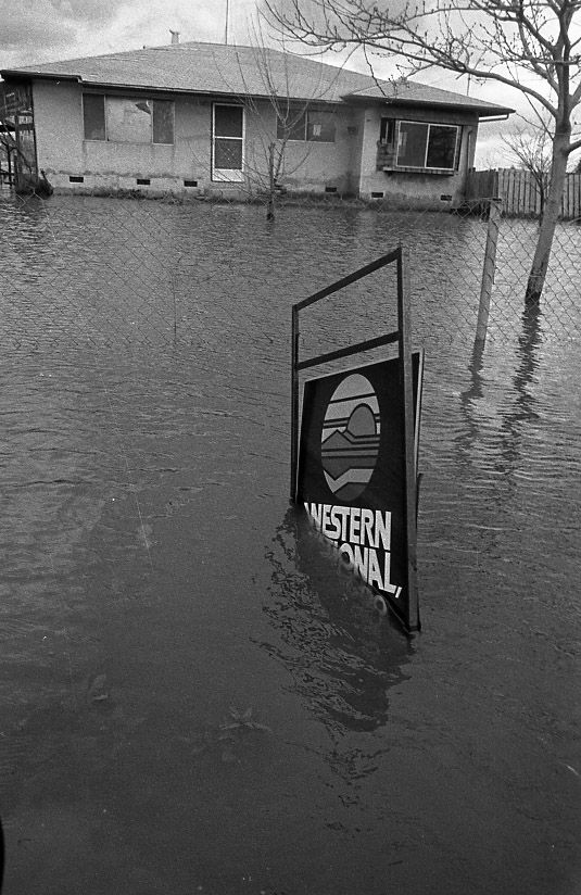
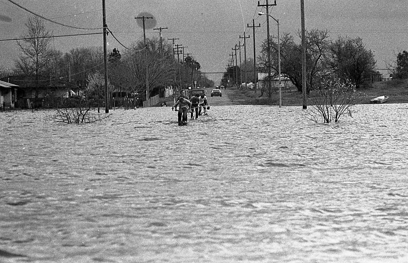
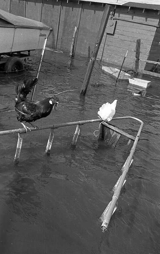
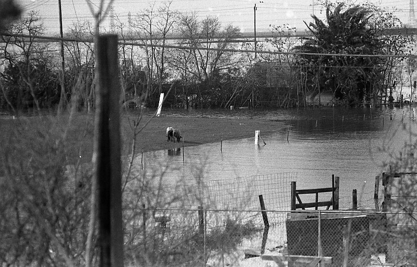
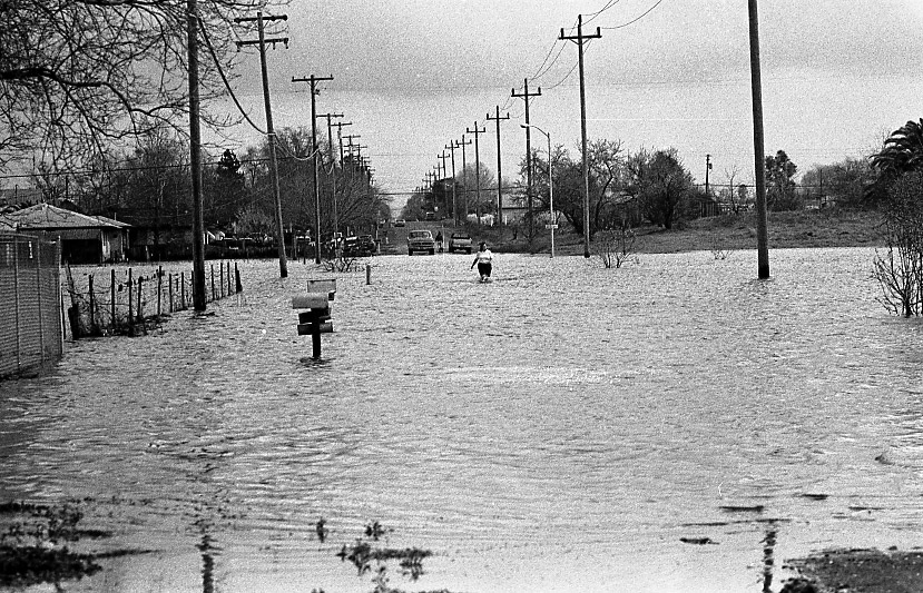
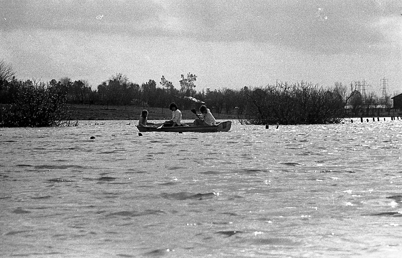
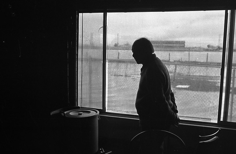
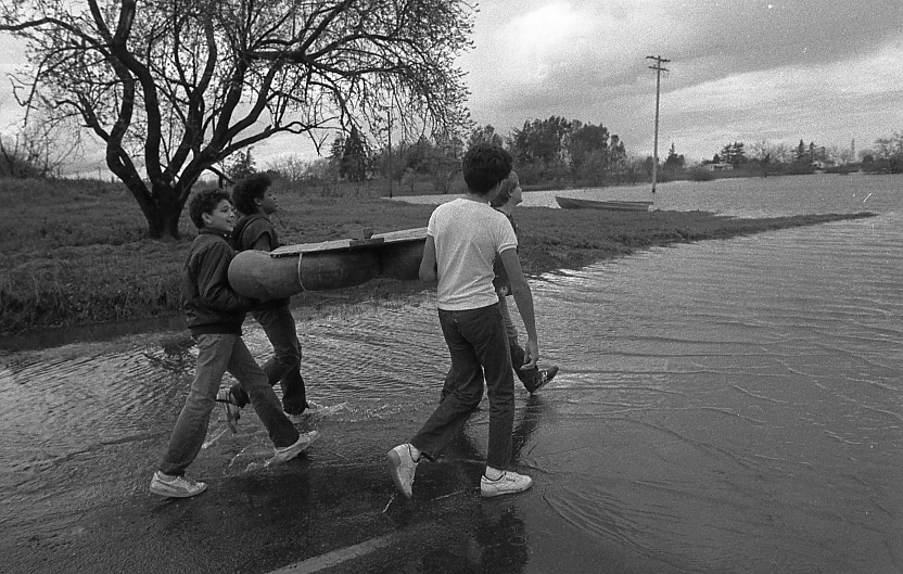
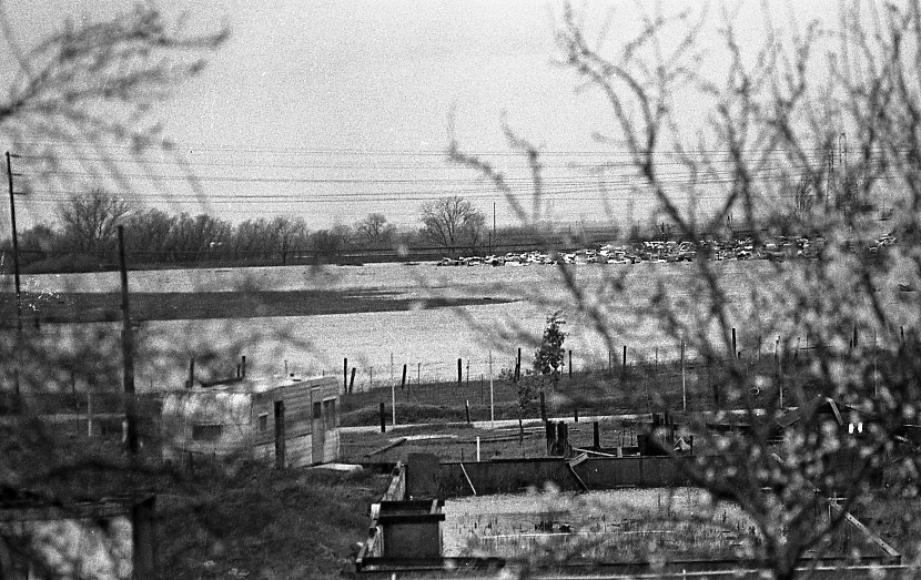
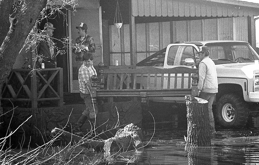
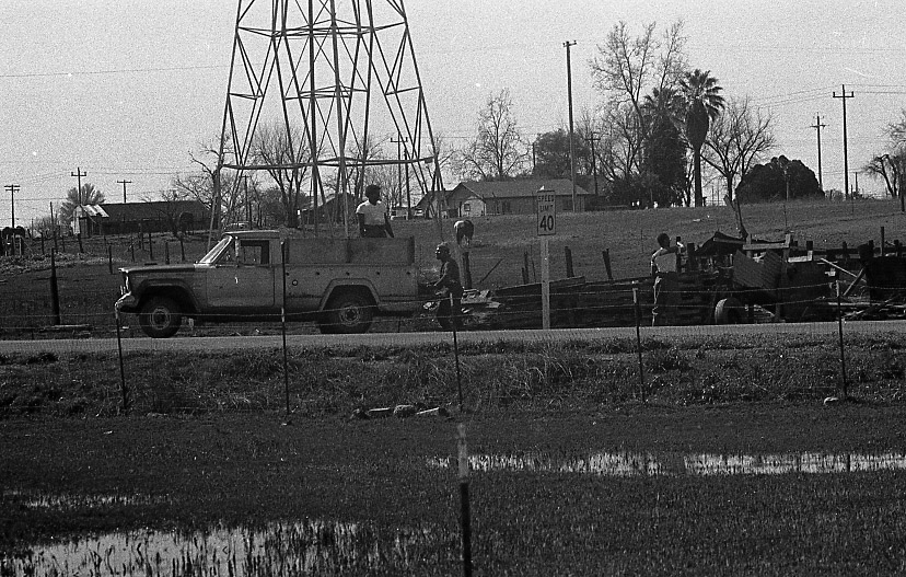
Shawn McKone, A 17-year-old Junior photographer from Rio Linda High School spent some of his downtime photographing the Rio Linda/Elverta area while school was most decidedly out.


