The Board of Supervisors, at yesterday’s Dec. 7 meeting, voted to adopt the Final Supervisorial District Map.
The Final Map is a result of the Board of Supervisors’ direction on revisions to the earlier draft maps as well as public input.
Following the Nov. 17 Board meeting, Sacramento County’s Geographic Information System (GIS) team worked with National Demographics Corporation (NDC), the County’s redistricting consultant, to proof the district lines suggested by the Board. They also compared it to the district lines, Census blocks and legal boundary descriptions for all jurisdictions in Sacramento County, including cities.
NDC and the County’s GIS team made minor adjustments to the Final Draft Map to address the miscoding of census blocks, to avoid sliver precincts and new ballot types, and to adhere to the Board’s recommendations on Nov. 16-17. Geographic descriptions of each supervisorial district boundary are also available.
This process resulted in a big win for Rio Linda and Elverta. For the first time in a very long time, all of Rio Linda is in the same district, Supervisor Sue Frost’s district 4. previously a portion of southeast Rio Linda was allocated to District 1. This final map also keeps Elverta in District 4, which was a concern for a time during this process.
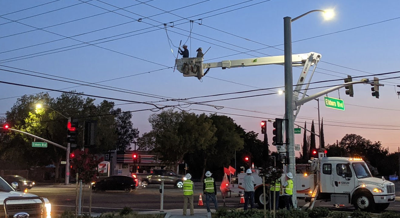
The “Grand Park” area remained within District 1, and this is one place where RL/E lost some ground. Grand Park is the area north of Elkhorn Blvd. extending to Elverta Road, between East Levee Road and Highway 99. It’s all rice paddies and bird clubs now, but the developers have already started working with planning to plan the next major area of development in the north county.
Grand Park is serviced by the Rio Linda Elverta Recreation and Parks District. When it is developed, RLERPD will be the district responsible for the park maintenance and recreation programs.
When (if) Rio Linda and Elverta ever incorporate, it’s long been determined that the new city limits would follow the RLERPD borders.
County residents can utilize the interactive map titled, “Final Supervisorial District Map” to view the new lines and see where they reside within them.
Additionally, the County offers several district lookup tools and online maps. Because those tools use different source data, the County is coordinating the update to the tools simultaneously in order to provide consistency among the tools. The update will be completed in January 2022.
The public submitted more than 200 written comments containing suggestions for redistricting and supervisorial boundary lines. The public also submitted their own maps for consideration, either hand-drawn or drawn using the mapping tools available.
Every ten years, following the Census count, the resulting census data is used to geographically define electoral districts, at all levels of government, through a process called redistricting. Redistricting ensures that each of the electoral district boundaries have about the same number of people and comply with the Federal Voting Rights Act of 1965.
Visit Sacramento County’s redistricting webpage for information about redistricting, including the redistricting process, written public testimony, meetings and workshops, public comment, and draft and final maps.


