 Rio Linda, CA – Metro Fire, in conjunction with the Sacramento County Regional Parks Department, will commence annual fire fuel hazard reduction and annual wildfire training at Dry Creek Regional Park in Rio Linda. When feasible, based on fire weather forecasts and permissible based on regulations for public Health and Safety as set by the Sacramento Air Quality Management District and as permitted by the Sacramento County Agricultural Commissioner’s Office, live fire will be used to facilitate both objectives.
The primary goal of the upcoming activity is to remove hazards while facilitating positive environmental changes, such as removing foreign plant seedlings, enhancing native plant growth and animal diversity, and controlling invasive weeds, such as yellow thistle and black mustard. Because of the simultaneous requirement for killing the non-native plant species and stimulation of native grass and flower species, intentional fire application for this location is the best course of action. Additionally, after the wet winter there is abnormally large amounts of growth of perennial vegetative species which unlike annual species grow faster and dry out sooner in the season, causing a greater fire hazard.
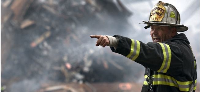
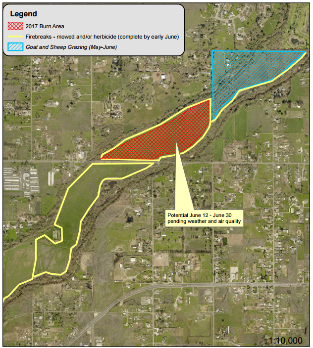
As a training tool for firefighters, there is no alternative for live fire as it provides firefighters the most practical experience and practice in controlling wildland fires. Fire managers will be on scene and conduct the activity in a manner that will minimize both smoke production and the impact to sensitive areas. The burn will cover 30 acres from June 12 through June 24 and will be subject to the aforementioned considerations for fire weather forecasts and air quality. Daily acreage will vary, from a minimum of three acres up to 10 acres.
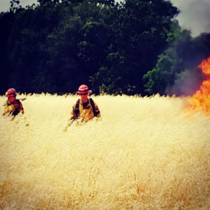 To ensure environmental protection and fire safety, grass on the proposed fire perimeter has been mowed, techniques to minimize smoke, heat and flames have been implemented, and additional firebreaks have been created by Metro Fire and the Sacramento County Regional Parks.
Details for the burn are below:
BURN AREAS: North of “Q” Street and Approximately South of “U” and East West of 22nd Streets.
LANDOWNER: Sacramento County Regional Parks
DATE: June 12 – June 24, 2017
PROJECT SIZE: 30 Acres
IGNITION TIMES: 10:00 a.m. and 1:00 pm (pending ignition approval criteria each day)
INCIDENT COMMAND POST: Parking lot south of 6852 Dry Creek Road

